| Episode 1 What Exactly Is El Niño? |
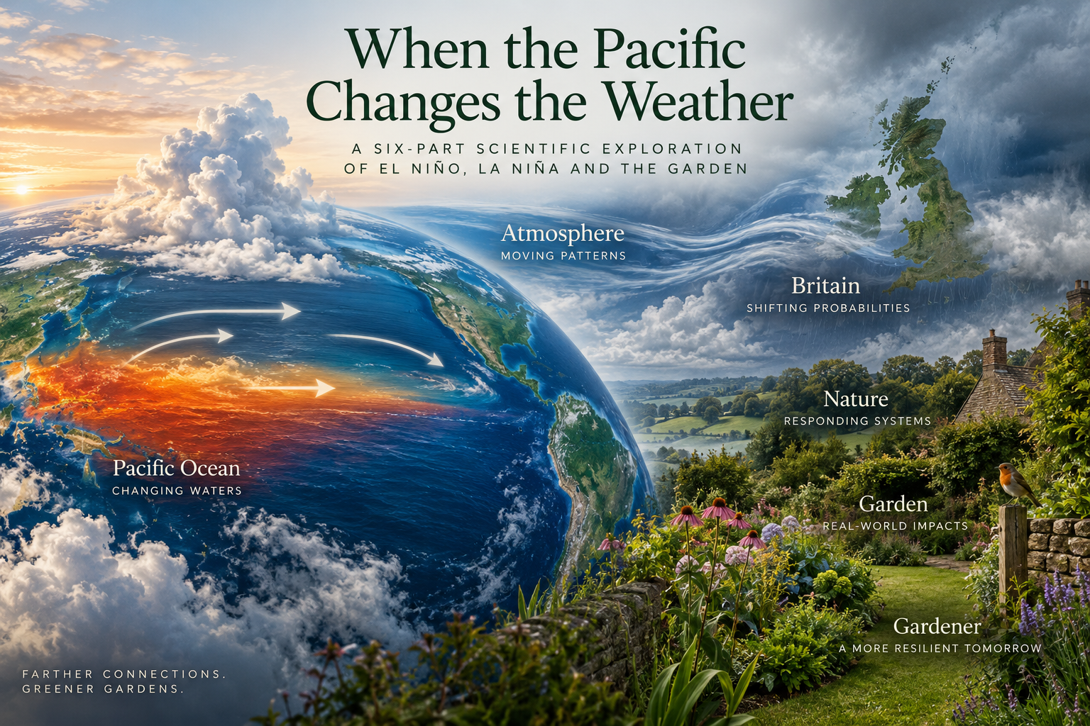
| Standing in a garden in Britain, the tropical Pacific Ocean feels very far away. If I am looking at a border that has spent weeks sitting in wet soil, wondering whether the next spell of weather will finally let it dry, what is happening in the sea somewhere between South America and Australia would seem to have little relevance. Thousands of miles separate the two, several continents intervene, and no great pipeline carries Pacific weather directly into a garden in Kent. And yet changes in that enormous ocean can alter the atmosphere’s behaviour across much of the planet. That is where El Niño begins. Not with British rain, a cold winter, an Australian drought or a Californian flood, but with an extraordinary relationship between the ocean and the atmosphere over the tropical Pacific. Understanding that relationship is important because El Niño has acquired a rather misleading reputation. When a significant event develops, headlines can make it sound as if a gigantic weather machine has been switched on somewhere in the Pacific. Soon afterwards we are told what sort of winter Britain might have, where drought could develop, where floods might occur and what the coming year could bring. The real science is both more complicated and, I think, considerably more interesting. El Niño does not dictate the weather. It changes the odds. First, imagine the Pacific behaving normally. Before we can understand El Niño, we need to understand what happens when it isn’t there. The tropical Pacific is vast. At the equator, the ocean stretches thousands of miles from the coast of South America towards Indonesia and the western Pacific. Across this enormous expanse, persistent winds known as the trade winds generally blow from east to west. They are part of the planet’s large-scale atmospheric circulation and, over the Pacific, they exert a remarkable influence on the ocean beneath them. Those winds help drive warm surface water westwards. Over time, warmer water accumulates towards Indonesia and the western tropical Pacific. In the eastern Pacific, particularly towards the coast of South America, the movement of surface water helps allow colder water from below to rise towards the surface. That process is called upwelling. It matters enormously. The deeper water is not merely colder. It is also rich in nutrients. When those nutrients reach sunlit surface waters, they support plankton, which in turn support fish and much larger marine food webs. This is one reason why the waters off western South America have supported exceptionally productive fisheries. As a result, the Pacific Ocean, under normal conditions, is anything but uniform. The western tropical Pacific contains a great pool of warm surface water. The eastern Pacific is generally cooler. The atmosphere responds to this difference because warm ocean water transfers heat and moisture into the air above it. Warm, moist air rises more readily, encouraging cloud formation and heavy tropical rainfall. So the warm western Pacific and the atmosphere above it become connected parts of the same system. The ocean influences the atmosphere. The atmosphere influences the ocean. And that relationship is the key to everything that follows. There is another world beneath the surface. Looking only at sea-surface temperatures can make El Niño sound deceptively simple. Warm water appears where it is not normally as warm, and we call that El Niño. But something important is happening underneath. In tropical oceans, a transition exists between the warm upper layer and much colder deep water. Scientists call this the thermocline. Under normal Pacific conditions, that thermocline is not level. It tends to lie deeper in the western Pacific, where warm water has accumulated, and much closer to the surface in the east. That shallower thermocline helps cold water reach the surface through upwelling. You can almost imagine the warm upper layer of the Pacific being pushed towards one end of an enormous bath. It isn’t literally piled up like bathwater against a wall, of course, but the comparison is surprisingly useful. The trade winds continually help maintain a westward concentration of warm surface water, and the ocean develops a corresponding slope beneath the surface. Then something begins to change. The trade winds weaken. As El Niño develops, the normal wind-ocean relationship becomes disturbed. The easterly trade winds weaken, sometimes accompanied by bursts of winds from the opposite direction in parts of the western Pacific. With less force maintaining the usual arrangement, warm water spreads eastwards across the equatorial Pacific. At the same time, the thermocline changes. It becomes deeper in the eastern Pacific, making it harder for the usual upwelling to bring cold water close enough to the surface to cool it effectively. The eastern and central tropical Pacific therefore become warmer than usual. And now something rather important begins. The warmer ocean changes the atmosphere above it. Areas of tropical rainfall and rising air that would normally be concentrated farther west can shift eastwards. Atmospheric pressure patterns change. Winds change further. Those atmospheric changes then affect the ocean again. This is why describing El Niño as simply “warm water in the Pacific” misses much of what makes it extraordinary. The ocean and atmosphere interact, and changes in one can reinforce changes in the other. Meteorologists therefore describe El Niño as part of a coupled ocean-atmosphere phenomenon. It is not simply an ocean event. So how warm does the Pacific have to become? Scientists don’t declare an El Niño because somebody notices that the Pacific seems unusually warm. Scientists monitor the tropical Pacific continuously using satellites, ships, drifting instruments, and networks of ocean buoys that measure conditions including temperature, winds, and currents. Scientists monitor particular regions of the equatorial Pacific. One of the most important is the Niño 3.4 region, which stretches across part of the central equatorial Pacific. Scientists examine the difference between observed sea-surface temperatures and the long-term average. This difference is known as a temperature anomaly. An anomaly does not mean something mysterious has happened. It simply means a departure from what would normally be expected. Different meteorological organisations use slightly different operational definitions. Still, sustained sea-surface temperatures around half a degree Celsius or more above average in the relevant tropical Pacific region form an important part of identifying El Niño conditions. Crucially, scientists also look for the associated atmospheric response. That last point matters. The Pacific can warm without immediately producing a fully developed El Niño. ENSO is fundamentally about the relationship between ocean and atmosphere, not a thermometer reading taken in isolation. Why “El Niño”? The name has a much older history than modern climate science. Fishermen along the Pacific coast of South America had long recognised periods when unusually warm water appeared off their coast, often around Christmas. The phenomenon became associated with El Niño de Navidad — the Christ Child. What began as a regional name eventually became attached to a phenomenon scientists discovered was part of something vastly larger. By the twentieth century, researchers had begun connecting changes in the Pacific Ocean with changes in atmospheric pressure occurring across enormous distances. Eventually those pieces came together. El Niño was not acting alone. It belonged to a much larger oscillating system involving both ocean temperatures and atmospheric pressure. Today we call that system the El Niño–Southern Oscillation, usually shortened to ENSO. El Niño is one phase. La Niña is another. Between them lie periods described as ENSO-neutral. But we will come to that Pacific seesaw in the next episode. The atmosphere notices For now, there is one final piece of El Niño we need to understand. When the location of enormous areas of warm tropical water changes, the distribution of heat released into the atmosphere changes with it. That matters because the tropics are one of the great engines of Earth’s atmospheric circulation. Tropical oceans absorb huge quantities of solar energy. Warm water evaporates. Moist air rises. Water vapour condenses into clouds and rain, releasing heat into the atmosphere. Air moves through enormous circulation systems before eventually descending elsewhere. Alter where that rising air and rainfall are concentrated, and you can begin altering atmospheric circulation far beyond the tropical Pacific, not by sending a parcel of “El Niño weather” around the planet, but by disturbing patterns within an already moving atmosphere. The consequences can propagate outward through changes in atmospheric circulation, jet streams and storm tracks. Meteorologists call these long-distance climate relationships teleconnections. Some parts of the world have comparatively strong and well-established relationships with ENSO. Elsewhere, the influence is weaker, less consistent or dependent upon the season and the state of other parts of the climate system. Britain belongs very firmly in that more complicated category. That is why saying an El Niño has developed does not tell us what the weather will be like in a British garden several months later. A climate influence is not a weather forecast. This distinction will run throughout this series. Many interacting systems influence weather and climate. ENSO is an important source of year-to-year climate variability, but it is not the only one. An El Niño can tilt the probability towards particular conditions in particular regions and seasons. It cannot tell us whether it will rain in Canterbury on a Tuesday afternoon, whether January will bring snow to Kent, or whether next June will leave us watering newly planted borders every evening. Even where statistical relationships exist, individual El Niño events differ. Some are weak. Some become powerful. Some strongly influence particular regions, while others produce surprisingly different results. The atmosphere is not a machine in which pressing one button always produces the same response. For gardeners, that may initially seem rather disappointing. If El Niño cannot reliably tell us whether the coming season will be wet, dry, hot or cold, what possible use is understanding it? Quite a lot, as it happens. Because gardening has always involved managing uncertainty. We plant trees without knowing what the next ten summers will bring. We improve drainage without knowing whether the coming winter will be exceptionally wet. We mulch soil knowing that one summer may bring weeks of rain while another leaves the ground cracking beneath our feet. Understanding El Niño isn’t about obtaining a secret long-range weather forecast. It is about understanding one of the forces that can shift the probabilities. And our journey towards the garden has only just begun. We started thousands of miles away, with trade winds blowing across an enormous tropical ocean. Those winds move water. The water moves heat. The heat influences the atmosphere. And once the atmosphere begins to respond, the consequences no longer necessarily remain in the Pacific. |
| In the next episode, we need to look at the whole system — because El Niño has an opposite number. La Niña. And between them lies one of the most important natural fluctuations in Earth’s climate system: the great Pacific seesaw. |
| About our writing & imagery Most articles are grounded in our real gardening experience, observations and reflections. AI may assist with research, drafting and editing, but the experiences, opinions and editorial direction are our own. Featured images may include our photography, original AI-generated visuals or, where stated, images credited to others. All published content is reviewed and shaped by Earthly Comforts before publication. |

